




Description
REVEAL — C-Map Charts
Marine mapping from C-Map brand. New C-MAP mapping range specific to LOWRANCE, SIMRAD and B&G brand devices.
Benefits
- Custom depth shading: the highest level of definition to facilitate distinction
Performance
- High-resolution bathymetric layer at sea
Features and Technologies
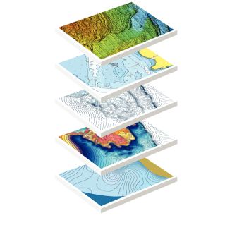
- Raster charts: provides the appearance of traditional mapping
- Satellite imagery overlay: better understanding of the environment
- Available only in large format
- Complete vector charts
- 3D shaded relief
- Easy Routing: plots the shortest and safest route
- Currents and tides: schedules, water level, directions, current forecasts, strength
- Detailed plans of marinas
- Raster charts: provides the appearance of traditional mapping
- Satellite imagery overlay: better understanding of the environment
Compatibility
- 3D view: for better interpretation than on a 2D chart
- 3D view: for better interpretation than on a 2D chart
Usage Tips
Verify chart compatibility with the exact plotter model. Recent charts include updates according to the activation period.