




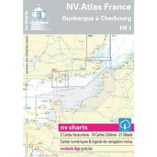
Description
Maps — Nv charts
Nv charts brand marine mapping. For a given geographic area, NV Charts offers in a single pack maps viewable in paper version and in digital version.
Features
- This pack includes: offshore charts, coastal charts, tidal currents, tide directory (digital version), digital map: PC/MAC software and a downloadable application for smartphones and tablets.
Features and technologies
- Paper maps for France area are in French/English, other areas are English only.
Usage instructions
Check compatibility with the plotter model or navigation software used. Check the date of the latest integrated updates.