
Description
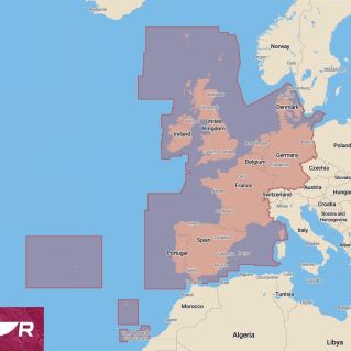
LightHouse charts bring a new level of clarity to marine navigation. Created from official hydrographic chart sources, LightHouse charts offer optimal readability, intuitive navigation and superior quality.
Four different color palettes provide the best possible viewing conditions around the clock and map symbol controls provide the ability to customize maps to your personal preference.
Subscribe to the LightHouse Maps Premium Offer to gain continuous access to map updates, an extensive library of points of interest (POIs) and enhanced satellite imagery for an accurate and sophisticated approach to sea navigation.
-Professional or Recreational Map Style: Switch between the information-rich Professional Government S-52 map style (left) and the Recreational LightHouse map style (right) to display key map data according to your preferences
-Enhanced map symbol control: Change the size of waypoints, points of interest and other icons to enjoy full control of map details.
-Navigate with real vision: Access high-resolution satellite imagery powered by Mapbox for a complete view of streets, shoreline and shoals for informed decision-making.
-Extensive POI Library: Quickly find marinas, fuel stations, gas stations and more with an ever-expanding POI library from top marine databases.
-Flexible Color Modes: Day, twilight, dark, and full sun color palettes let your vision adapt to changing light conditions for effortless, clear map viewing.
-Stay up to date and explore more: RayConnect Mobile and a LightHouse Premium subscription lets you update your maps and download premium content with your mobile phone