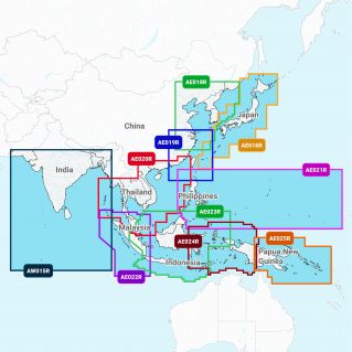
Description
For the high seas or inland waters, this all-in-one solution offers integrated cartography rich in detail, isobaths every 50 cm, Community Edits to take advantage of the knowledge of other boaters, advanced functions such as Dock- to-Dock², as well as access to daily updates via the Navionics Chart Installer software.
²The guidance feature should only be used for planning purposes and is not a substitute for careful navigation
²The guidance feature should only be used for planning purposes and is not a substitute for careful navigation