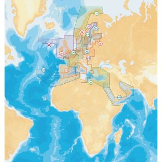
Description
Ultra complete cartography with 3D views. Overlay of satellite photos, panoramic photos, covering in real time. More realistic 3D views of the seabed and coastal land relief with report of the position of the boat. Superimposable and navigable vertical photos with increased definition (25 pixels per cm). Merge vertical photos with 2D vector mapping and 3D views. Panoramic photos in XGA resolution (1024 x 768) of ports, marinas and anchorages. SonarChart ™ Shading, new cartographic layer available in Platinum + charts for a better understanding of bottom relief. Cards available only on MSD / SD media.

